Spatial intelligence for campaigns & causes
Everything happens somewhere.
We build the precinct maps, voter files, and spatial databases that power field programs and legal strategy. When the data has a where, we make it work.
Our thesis
The choropleth is the easy part.
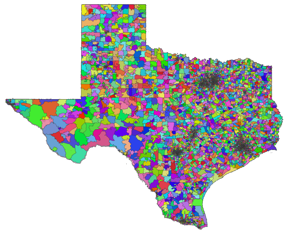
The hard part is the spatial database underneath. Matching voter files to precincts, reconciling Census geographies across vintages, building crosswalks when the boundaries shift mid-cycle.
We do the infrastructure work that makes the map possible. Our clients get answers that hold up because the data underneath was built to withstand scrutiny.
What we do
Services
Signature
Precinct Mapping
Build, reconcile, and maintain precinct boundary shapefiles from county-level source data.
Signature
Spatial Databases
PostGIS-backed warehouses that join voter files, Census demographics, and election results by geography.
Signature
Geocoding & Matching
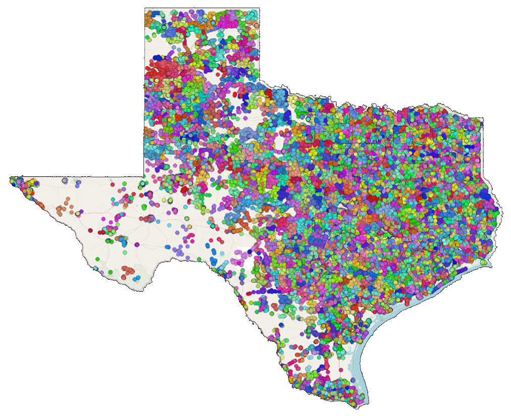
Turn address lists into map-ready point data with precinct and district assignment.
Signature
Redistricting Analysis
Expert analysis of proposed boundary changes and their impact on representation.
Election Data Management
Ingest, normalize, and warehouse election results across jurisdictions and vintages.
Custom Map Production
Publication-quality thematic maps for reports, litigation exhibits, and campaign materials.
Expert Witness & Testimony
Technical testimony on spatial methodology, data provenance, and boundary analysis.
Selected work
Case Studies

93-100%
Geocode match rate
65K
Precincts mapped
56 hrs
Avg. turnaround
2011
Year founded
Who we work with
Built for people who need shapes.
Campaigns
Field programs that need precinct-level targeting, walk-list geography, and turf-cut maps.
Legal Teams
Litigation support for redistricting challenges, VRA claims, and boundary disputes.
Advocacy Orgs
Nonprofits and civic groups that need demographic overlays, canvass universes, and spatial reporting.
Researchers
Political scientists and demographers who need clean, joinable spatial data for analysis.
“Siege Analytics built our precinct maps from scratch when no one else could. Their spatial database became the backbone of our entire field operation.”
Jon Reznick, Field Director
Start a conversation
Have a question about where?
Tell us about your project. We will scope the work and get back to you within 48 hours.
contact@siegeanalytics.com